
Old Ways
Explore historical maps and terrain, georeference your own maps and photographs, and use field tools in one mobile app.


Historical Maps
See the past on today’s map
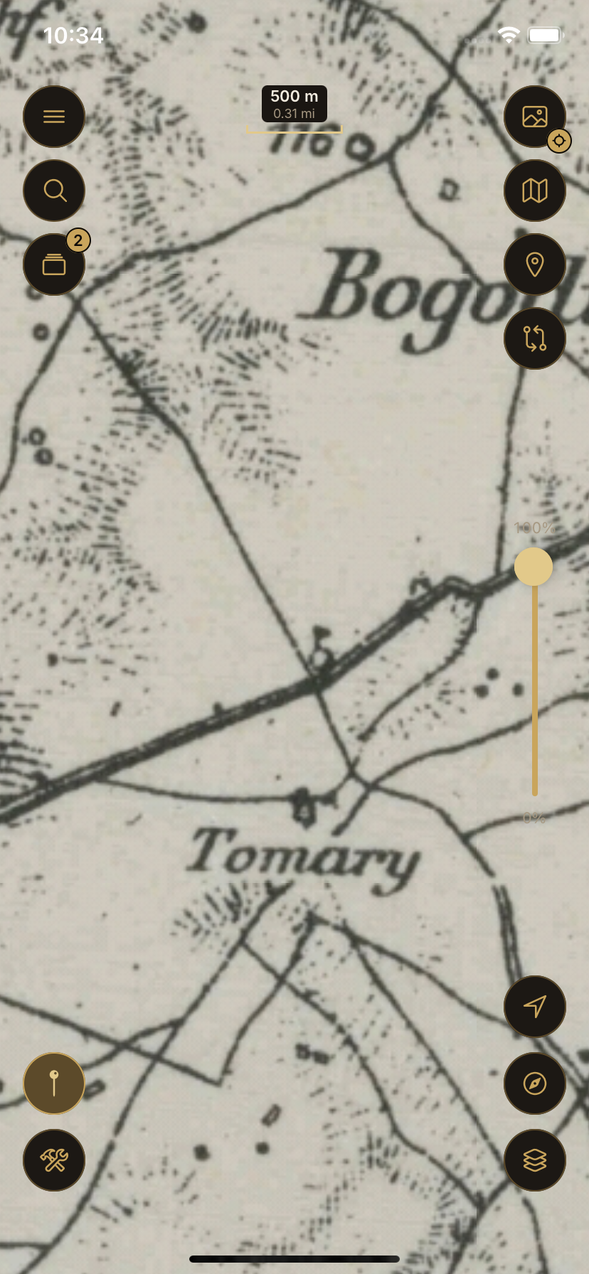
Browse georeferenced historical maps and place them over the modern map to compare how a landscape has changed.
- Overlay and compare historical maps
- Subscription access or permanent access with Energy
Terrain
Read the relief
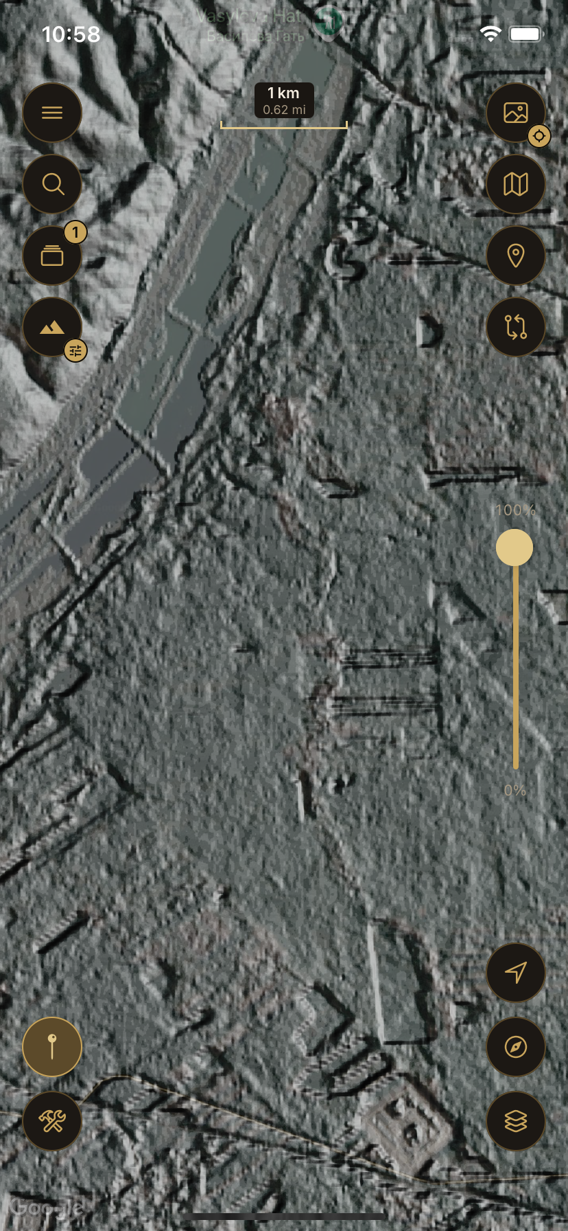
Terrain views bring out hills, valleys and slopes, with roughly 30 m detail and finer data in selected areas.
- Use terrain on its own or with historical maps
- Availability depends on coverage and needs an internet connection
Georeferencing
Bring your own maps to life
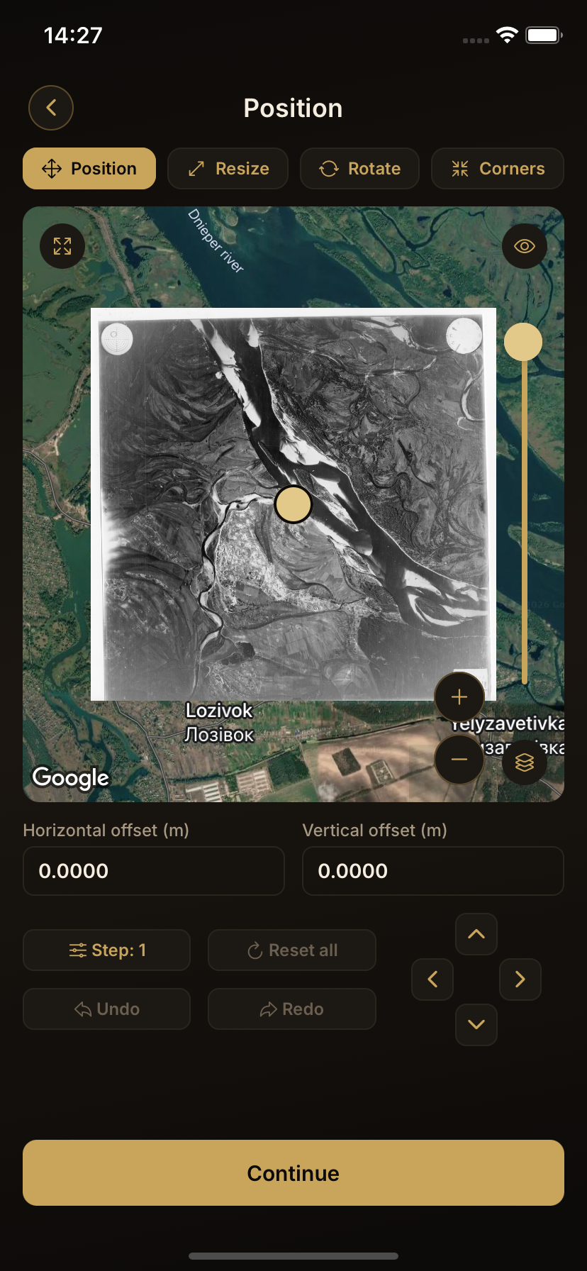
Import a map image or photograph, place control points and align it to real-world coordinates directly on your phone.
- Import, set control points, align and export
- Your personal maps are stored on your device
Field Tools
Tools for the field
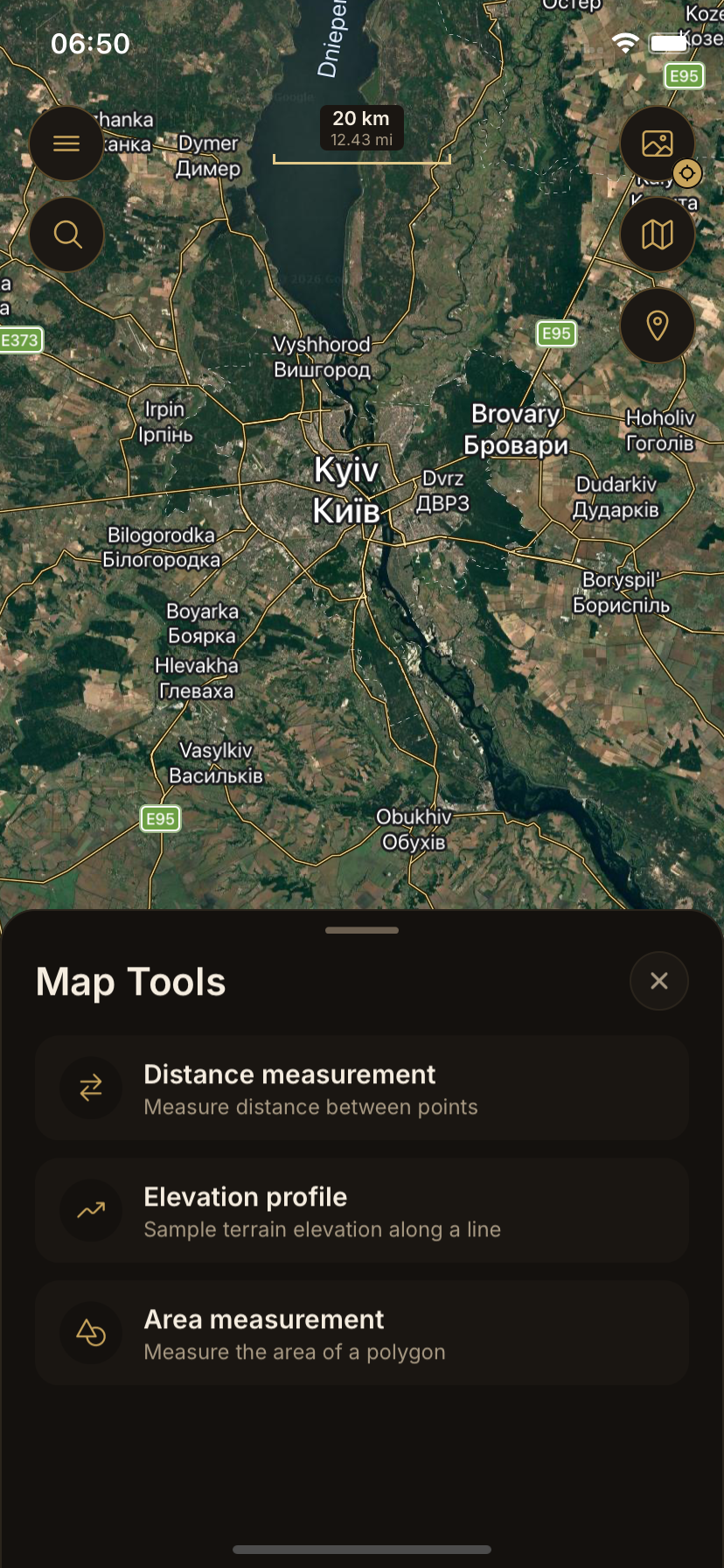
See your current position on the map, measure distance and area, view an elevation profile and save the places that matter.
- Distance, area and elevation profile
- Saved points and point groups
Personal and offline maps
Keep your maps close
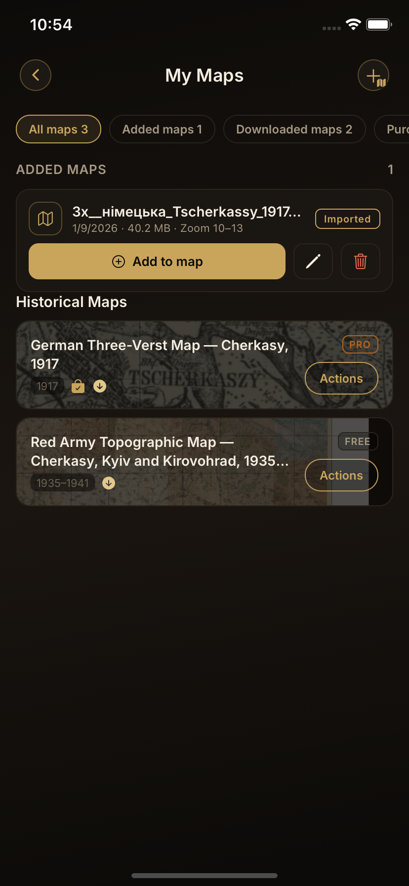
Keep your personal maps on your device and download protected historical maps for offline use. Offline historical maps need to reconnect from time to time to confirm access.
- Local personal maps
- Offline downloads for historical maps
Get Old Ways